|
|
|
SJEVEROISTOČNI POJAS DINARSKOG GORJA > PLANINE SREDNJE I ISTOČNE BOSNE > PLANINE ISTOČNE BOSNE > Devetak
Država: Bosna i Hercegovina
Najviši vrh: Bezdanica, 1424 m
Koordinate najvišeg vrha: 43.9843, 18.9844
Država: Bosna i Hercegovina
Najviši vrh: Bezdanica, 1424 m
Koordinate najvišeg vrha: 43.9843, 18.9844
|
|
UvodDevetak je planina u istočnom dijelu Bosne i Hercegovine. Bezdanica, najviši vrh planine nalazi se na nadmorskoj visini od 1424 m. U nastavku Devetaka, u dinarskom smjeru pružanja, nastavlja se Bokšanica s najvišim vrhom Klanac (1275 m), a južno od Bokšanice paralelno se pružaju planine Mednik, Rujnik, Brdina i Sjemeć .
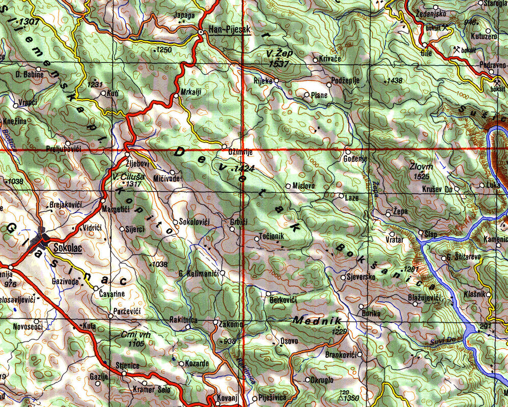
Položaj planine Devetak
Detalj stare topografske karte izvornog mjerila 1:300.000 ENGLISH SUMMARY: Devetak
- |
ŠTO VRIJEDI VIDJETI I POSJETITI: Klikom na logo direktno pronađi smještaj na širem području ove planine Search directly for accommodation in the vicinity of this mountain Oglašavajte ovdje:

|
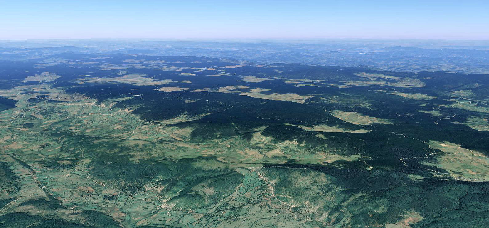
Planina Devetak, prostorni prikaz
Izvor: Google Earth, 2021.
Izvor: Google Earth, 2021.
Mrkalji
|
|
Borovine
|
ZAPIS O SELU BOROVINE KOD HAN PIJESKA, Запис о селу Боровине код Хан Пијеска
Autor: Snjezan Lalovic Datum objave: 5.5.2018. |