|
The outskirts of the Dinaric Alps are very accessible from more European regions, because they are situated close to the Central Mediterranean, Central Europe and parts of Eastern Europe. However, moving inside the mountain chain could be more complicated on some of your routes. Not only because physically the mountains are a strong barrier, but also because of underdeveloped networks in many parts of the area and many broken inter-states connections and lines due to war conflicts in the area in the 1990s. But situation is gradually improving, lately, with reconstruction of the old ties and especially the high rise of tourism in the area.
The most of convenient international airports are situated close to outside borders of the Chain and along the Adriatic coast, in seaside resorts. There are four international airports inside the Chain, and these are Sarajevo Airport (the best connections out of those four), Banja Luka Airport and Mostar Airport in Bosnia and Herzegovina and Podgorica Airport in Montenegro. The other International Airports that can suit you very well are: Trieste (Aeroporto Friuli - Venezia - Giulia) (Italy), Ljubljana Airport (Slovenia), Zagreb Airport (Croatia), Osijek Airport (Croatia), Belgrade Airport (Serbia), Niš Airport (Serbia), Tivat Airport (Montenegro), Dubrovnik Airport (Croatia), Split Airport (Croatia), Zadar Airport (Croatia), Pula Airport (Croatia), Prishtina Airport (Kosovo/Kosova) and Tirana Airport (Albania).
European Coastal Airlines is an air taxi operator based in Croatia. Founded in 2000, the company launched scheduled services in 2008. Their fleet consists of seaplanes (hydroplanes) and they operate on routes around Croatian islands and wider Adriatic Sea area: Ancona, Zagreb, Pula, Rab, Zadar, Hvar, Jelsa, Split, Trogir, Korčula, Dubrovnik, Lastovo. (update of destinations as of December, 2014.) The main railways approaching the Area are via: Triest (trains from Italy, Switzerland, France - although since 2011. and the Italian Railways in financial crisis, this railway corridor has been, I hope temporarily, suspended), Ljubljana (Italy, Austria, Germany), Zagreb (Italy, Germany, Hungary) and Belgrade (Hungary, South and Eastern Balkans) train stations. From these main stations you can penetrate deeper into the Dinarics by train or by any other way of transport.
The main rails crossing over the mountain system are: Ljubljana-Istria, Zagreb-Rijeka, Zagreb-Split, Doboj-Sarajevo-Mostar-Ploce and Belgrade-Bar. Overall in the area, the rail network is less developed than the bus network, although it may be somewhat cheaper option. Check out the following websites for timetable details: Bosnian-Herzegovian Railways schedule Slovenian Railways Croatian Railways Serbian Railways Railways of Montenegro Italian State Railways Travelling by bus inside the Dinaric is probably the best public transport option. Even the smallest settlements have a kind of bus connection, although many times do not count on a busy schedule (one bus ride in a day or, twice a week f.e.) and not even of a high comfort. Travelling by bus is also a cheap option.
To reach the Area, the main bus-hubs connected with more international lines are: Trieste (Italy), Ljubljana (Bus Station) (Slovenia), Zagreb /Bus Station) (Croatia), Rijeka (Croatia), Split (Bus Station) (Croatia), Sarajevo (Bosnia and Herzegovina), and Belgrade (Bus Station) (Serbia). Especially good connections from those bus stations are to Germany, Austria and Switzerland, Hungary and Italy. See also: BusCroatia (all Croatian bus station on one link) For traveling by bus inside the Dinaric Chain be aware that the most of bus networks operate inside their native states, therefore check in advance from which stations you can catch a bus that drives into neighbouring countries, across the border. |
|
There are numerous ferry services between two coasts of the Adriatic, ferries and passenger ships connecting the coastline and the islands, as well as services along the coast.
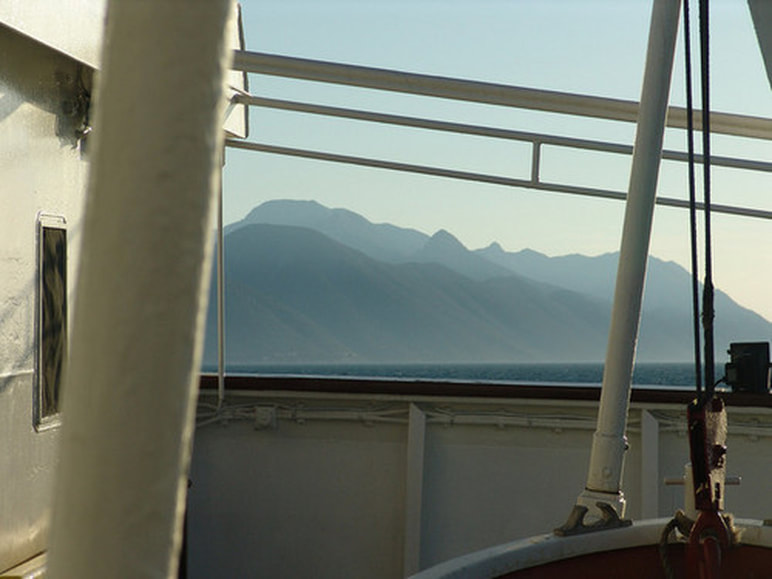
The main ports (in Croatia and Montenegro) are connected with more Italian ports on the other side of the Adriatic sea. You can take ferries (or catamarans) from the ports of Venice, Rimini, Civitanova, Ancona, Pescara or Bari in Italy to reach one of the ports on the other side of the Adriatic. Note that during summer season much more ships operate, but the crowds during this period will force you to think about booking your tickets in advance (if you plan to cross the sea with your car). One of the nicest solutions if you want to reach one of the ports on the Eastern Coast of Adriatic is by taking a line that connects major ports along the coast (from Rijeka to Dubrovnik), with excellent views to the costal mountain ranges of Dinarics. Major passenger ports in or nearby Dinaric mountain chain are: Trieste (Italy), Koper (Slovenia), Pula (Croatia), Rijeka (Croatia), Zadar (Croatia), Split (Croatia), Dubrovnik (Croatia) and Bar (Montenegro). Major Shipping Companies operating in the area are: Jadrolinija (Croatian), Venezia Lines (Italian), Blue Line (Croatian), SNAV (Italian), Montenegro Lines (Montenegrin). |
|
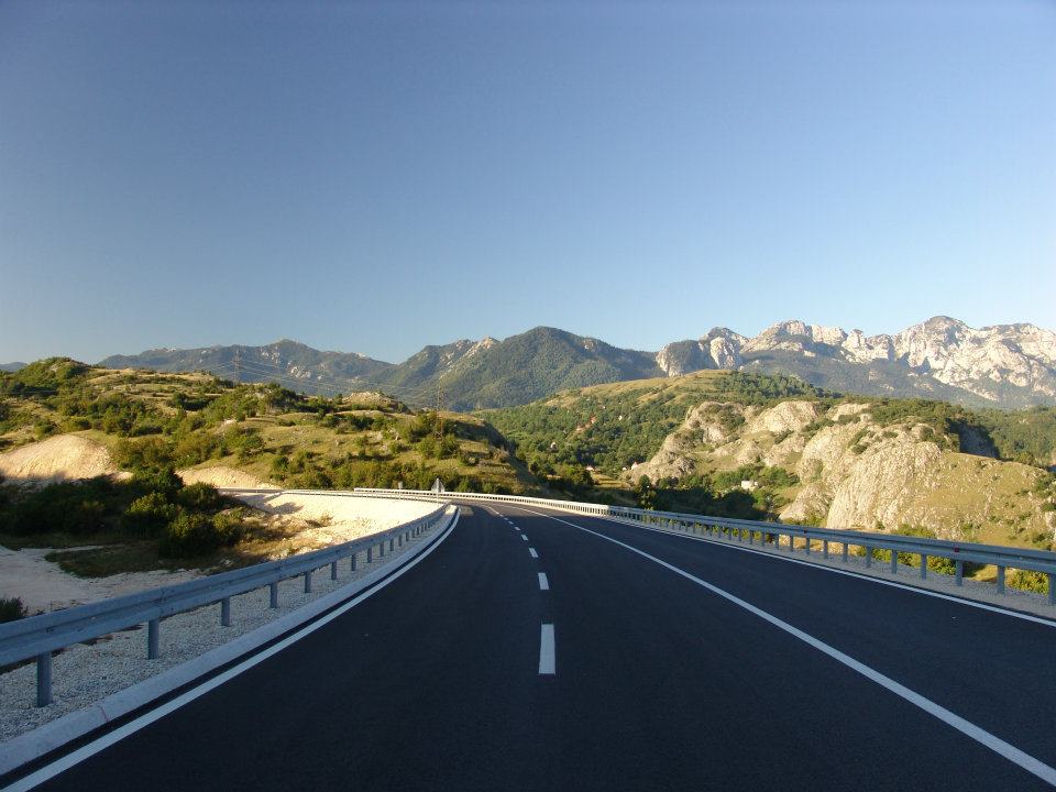
Since the Area is close to Central Europe many visitor arrive by car. Main European highways and mottorway corridors that will take you to the Dinarics area are: Milano / Rome-Venice-Triest-Split-Dubrovnik-Skadar/Skhodra, then Stuttgart-Munich-Salzburg-Ljubljana and Frankfurt-Nürnberg-Linz-Graz-Zagreb-Split, Budapest-Zagreb-Rijeka, Budapest-Osijek-Sarajevo-Mostar and Belgrade-Kraljevo-Podgorica.
Because of differences in developement, western parts of the Dinarics (Slovenia and Croatia) have much better road/highway networks and developed car maintenance system. More to the south-east the situation is favourable by the main roads, in large towns or by the coastal sea resorts. For more information on traffic conditions and generally travelling into the states in Dinaric Area check the next sites: AMZS - Auto-moto Association of Slovenia HAK - Croatian Automobile Club BIHAMK - Auto-Moto Club of Bosnia and Herzegovina AMSCG - Auto-Moto Association of Montenegro AMCC - Auto-Moto Association of Serbia ACA - Automobile Club Albania |
|
Although the most of visitors prefer summer time for visiting and climbing the Dinaric Alps, of course such diverse mountain system is attractive in all other seasons, and because of different climate influences, you can have very different seasonal experiences in various parts of the Chain.
|
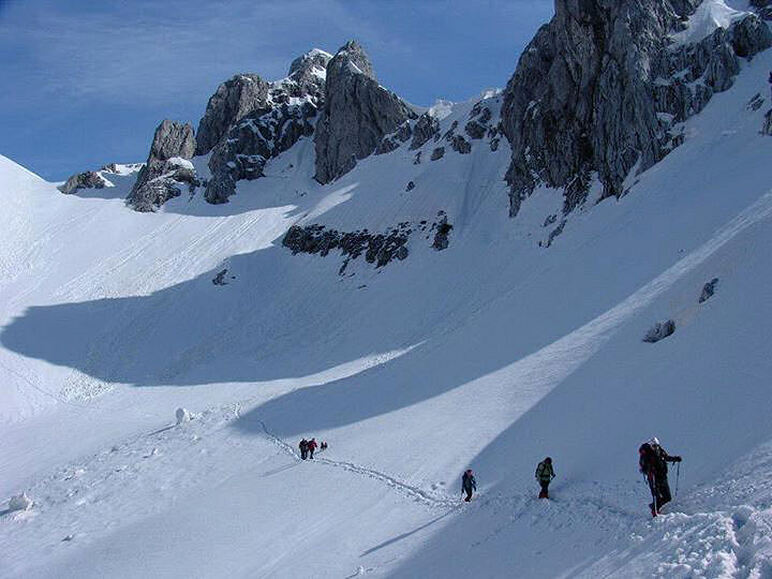
On average, the Mountains of the central High Dinaric Belt are fully covered by thick layer of snow in winter, and the most of local mountain roads are being closed approximately from October to May (at least). But for those with adventurous spirit, this may be the best time to visit high mountains: clear vistas on sunny days (better that in summer, when many times a light mist may obstruct the view), snow covered mountains, emptiness of the mountains, wolf tracks in a fresh snow ... February and March may be the best time to walk across the snow because of the hardness of the snow layer.
At the same time you can climb the mountains in Dinaric Maritime Belt, where the Mediterranean climate enables you to hike the snowless mountains. |
|
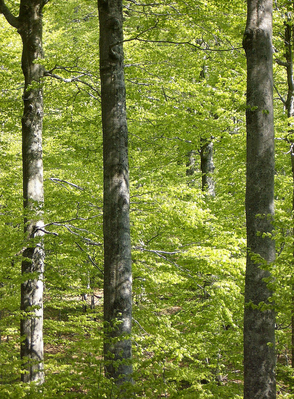
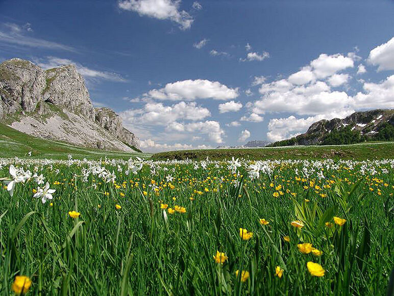
High mountains are still covered by snow deep into the springtime. But lower laying areas and lower mountains are now approachable for visits. In coastal mountains and further inland (in lower Herzegovina and Montenegro) the Sun already warms up the air considerably. In May you may have the coastal mountains still under the snow and the first brave swimmers splashing up in the Adriatic Sea, at the foot of the same mountains. Late spring is wonderful period to visit the most of the mountains, even the highest ones. This is the time of blossoming, woods and meadows are light green and more and more colorful thanks to many plants.
|
|
Summer (July-August) is the high season for outdoor activities. When the most of the snow melts away (since June, mostly) shepherds arrive to theirs´ summer settlements high in the mountains. In many mountains this is the period when they receive 90% of all the visits, throughout the year. But don't be afraid because there aren´t too many crowded areas in the Dinarics even in summer, because the most of the locals and tourists are already bathing and swimming on the nearby Coast. Usually in summer there are more periods with nice weather. Generally, the weather conditions may be the best (but the hottest) in Maritime areas and closer to Pannonian plain. The highest mountains may be for more days under clouds after summer rains because of higher humidity and condensation, though August is the month with the least average amount of precipitation in high mountains. In maritime areas be aware of high daily temperatures and lack of vegetation and shade along the trails. So take lots of water with you and avoid sun peak periods.
|
|
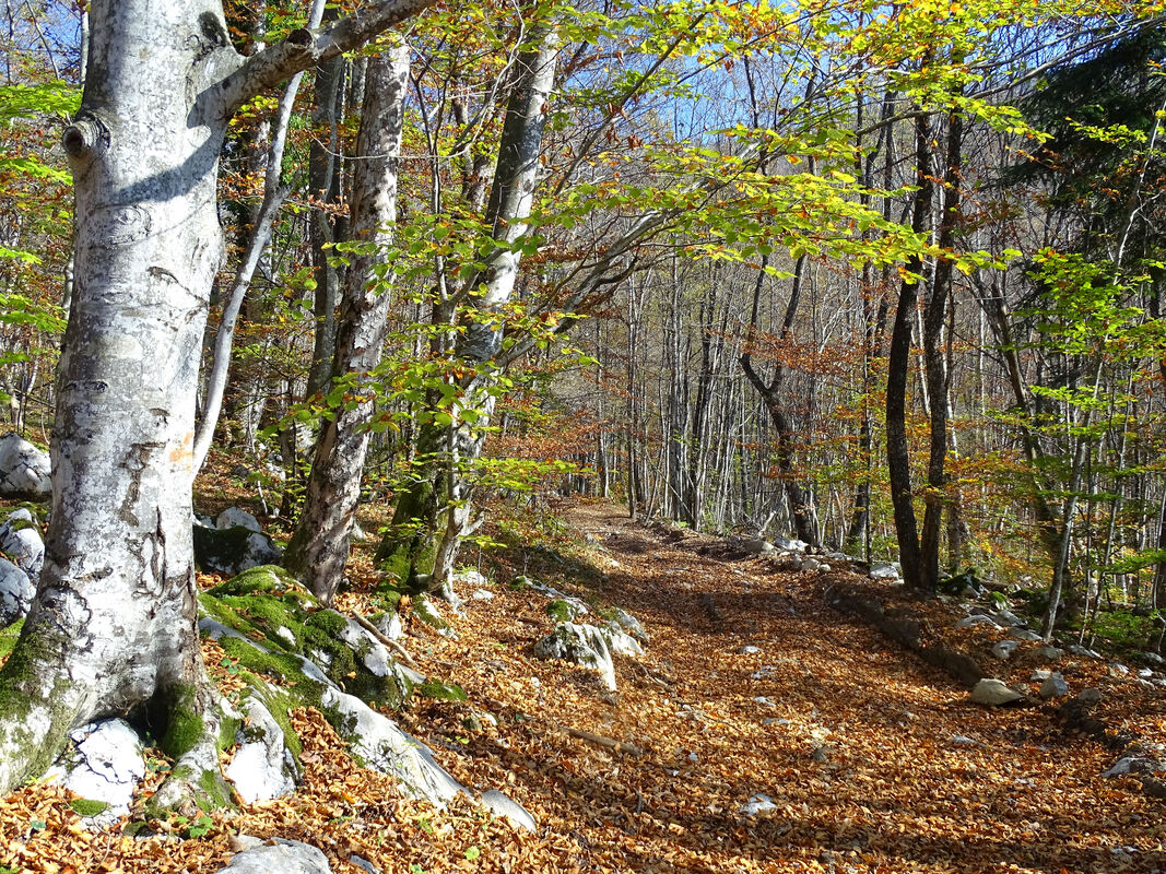
Early fall is a wonderful period, more peaceful than summer, the weather and temperatures still pleasant, wooded areas covered with colourful leaves and high mountain meadows turned into golden-yellow colour. Late fall by far is the rainiest (with first considerable snowfalls) and the foggiest period in the mountains. The first winter inversions (time when high air pressure above the area brings long-lasting cold fogs into lowlands, while mountaintops enjoy clear sunny days) start already in November and December.
|
One mountain range, but many small states - Be cautious when climbing close to border areas. While there are some regions with so called "tourist zones" proclaimed between two states (like Žumberak/Gorjanci Group, and Kupa river area between Slovenia and Croatia, or a hike from Sutjeska river valley in Bosnia&Herzegovina to Mratinje lake in Montenegro, or some hikes in Prokletije) where people with strictly tourist/mountaineering intentions have relative freedom of movement in those border areas, there are also many other border areas (Prokletije Range, between Montenegro and Albania and Kosovo) which are subject to much stricter police control because of the presence of smugglers in nearby area.
Be careful also with walking through or close to military premises, or photographing military premises, because in some areas there are still "old style" military laws and officers, who will show no interest in your physical/natural/sociological exploration of the area. There were even places where was until recently forbidden to photograph a 200 m high civilian water-dam with artificial lake - something many countries would turn into major tourist attraction - but this is still the Balkans!
After all those wars in the western Balkans, the overall situation has settled down and the tourists have come back. But there is still an area you have be warn of, because of large military/police presence, and this is the south-easternmost part of the Chain, close to upper Ibar river (the easternmost parts of Prokletije and Raška/Sandžak groups), the border area of Kosovo.
This is really red alert! As the most dangerous and the saddest consequence of wars in the Balkans in the 1990s, are many minefields scaterred throughout the region. The best situation is in Slovenia, Montenegro and Serbia. Croatia has some regions which are still mined but the worst situation is in Bosnia and Herzegovina, which is sadly, because it is the central state in the Dinaric Alps. Many more years from now will visitors to the area have to rethink twice before they choose the mountain or the area they want to climb, especially if this is a risky area.
Areas covered with mines have direct and indirect impact on communities, manifested in a huge number of civilian casualties, the population's health, losses in livestock, arable land, supplies, production and trade and constant fear and treat. Although the most of the mine field risky areas are known and marked, there are still unknown ones which are the most dangerous. As many of mine risk areas are situated in mountainous areas of the Dinaric Alps check in advance the situation in the area you plan to visit. But locally, on some of the mountains, there are already renewed or newly set up mountain trails and marked paths passing through more (and known) secure parts of those risky areas. If you hike/climb in such areas, the best advice is to follow the trail and main roads and not to turn aside off the trail.
There are magnificent mountains like Treskavica, south of Sarajevo, where mine situation is so complex that people have long time avoided to climb it in summer (they started with winter climbs, thanks to thick snow layer covering mine fields).
|
Situation in Kosovo/Kosova Throughout the armed conflict on Kosovo (Kosova, in Albanian) that ended in June 1999, both sides in conflict used antipersonnel landmines. During March–June 1999, NATO forces dropped more than 1,200 cluster bombs on Kosovo. Mines were used sporadically after June 1999, with the last reported use of antipersonnel mines in 2002. Local authorities and international troops continued to recover antipersonnel mines from caches or seize them from individuals. Following the cease-fire between the Federal Republic of Yugoslavia and NATO, the UN coordinated a major demining operation by international NGOs and commercial companies from June 1999 to December 2001. Despite claims that almost all mines and explosive remnants of war (ERW) had been removed, significant clearance operations continue. Landmine Monitor analysis of data from the authorities and additional reports of deminer and peacekeeping casualties identified 553 mine/ERW casualties (111 killed, 439 injured, and three unknown) in Kosovo between 1999 and 2008. Risk education was provided with no interruption by a large number of international and national organizations in Kosovo between 1998 and 2008, but activities decreased in 2007–2008. Estimated area of contamination (Jan 1st, 2009): 55 known dangerous areas and 65 suspected areas. Casualties in 2008 Six (2007: 14). More information on: Landmine Monitor |
|
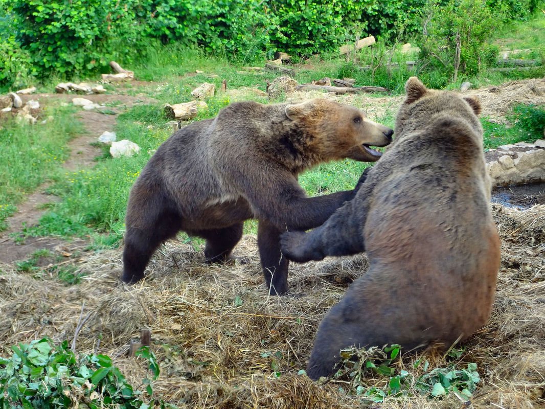
As very rugged and mostly under-populated Area, many mountains of the Dinaric Alps abound in animal life, including the larges carnivores: bear, wolf, lynx, wild cat. Although statistically the risk that these animals would attack you is very low, you have to be aware of their presence in the area where you plan to climb. So the forests of High Dinaric Alps, from Slovenia, over Croatia to Montenegro-Bosnia-Herzegovina border are the largest habitats of bear, wolf and lynx. The attacks on humans are very rare, and the most often the victims would be sheep or goats in nearby villages or mountain cottages. Wolfs are the most dangerous in herds an in winter time, especially when they descend from cold mountains into warmer areas of Dalmatian coast hinterland (Dalmatinska Zagora), Lower Herzegovina and Montenegrin Coast hinterland, and continental parts of Slovenia, Croatia, Bosnia-Herzegovina, Montenegro, Albania and Serbia. Bears are dangerous in spring if you meet a mother-bear with her young cubs, because she will try to do anything to protect them. Snakes are present like everywhere on the Mediterranean and in the mountains - respect them, they will respect you. If you think about them as a "biodiversity stuff" you will psychologically feel much better! Because the danger of the snakes is of course present, but it is more psychological fear than the real danger (at least statistically).
|
As a transitional area where more types of climate touch, or better say clash, sudden weather changes and the extreme weather conditions are very much present here. Especially extreme weather conditions are in the High Dinarics and in transitional area between the Adriatic Coast with Mediterranean climate and the highest mountains of Dinarics in the background.Climbing the mountains in the Dinarics you could feel the forces of the Sun, the wind, the snow and the rain. But despite lots of precipitation, the mountains in the Area are made of limestone which does not keep the liquid at the surface, so on many mountains water sources are scarce, and as a precaution always take all the water you need with you, during all periods.
Still many mountains of the Dinaric Alps are not yet marked (which, from ecologica point of view is not so bad after all!), so you will be forced to explore sources, in advance, trying to find more information including good maps on your targets. Since, from my experience, many times you will find very scarce information on many mountains in the Dinarics, you will be many times simply forced to ask locals or use your own sense of orientation.
|
Lists of mountaineering huts, shelters an bivouacs in the Dinaric Alps (by country, lists are in local languages):
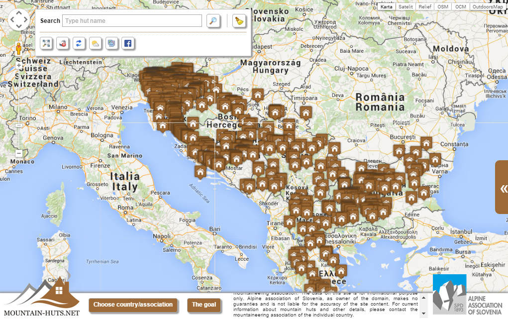
In cooperation with all mountaineering associations in the Balkans area joined in Balkan Mountaineering Union, the Alpine Association of Slovenia has made an interactive map presenting all mountain houses, huts and shelters in that area - including the Dinaric Alps region.
Click the image (on the right) to open the link: |
|
Weather in Croatia - 3-day Forecast
Temperature 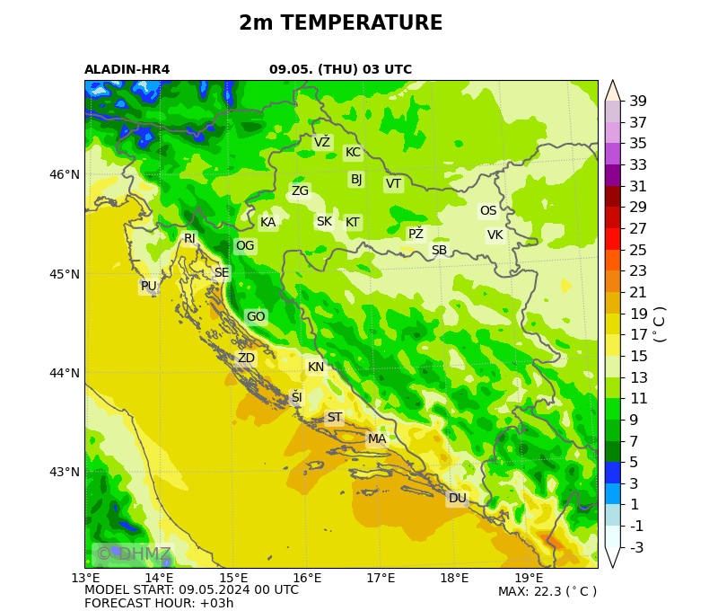 Cloudiness 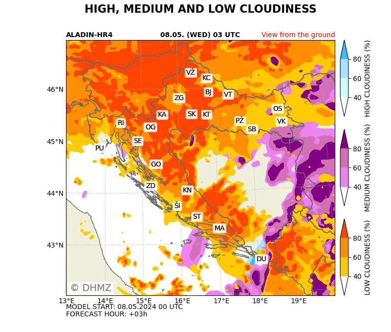 Weather in Slovenia - Today and Tomorrow 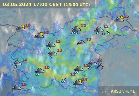  Wather in Montenegro - Forecast  Weather in Serbia - Forecast Weathre in Bosnia and Herzgovina - prognoze |
Satelitte image  Satelitte images - EUMETSAT 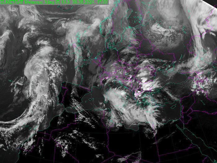 |
kMore information on the weather situation in the Area can be obtained from local or international web-sources.
Local Weather Sources:
International Weather Sources: |
For more information or any kind of help you can refer to the following national Mountaineering Associations organized in the area:
Mountaineering Association of Slovenia - Planinska zveza Slovenije (in English)
Croatian Mountaineering Association - Hrvatski planinarski savez (in Croatian)
Mountaineering Association of Serbia - Planinarski savez Srbije (in Serbian)
Mountaineering Association of Montenegro - Planinarski savez Crne Gore (in English)
Mountaineering Union of Bosnia and Herzegovina - Planinarski savez Bosne i Hercegovine (not in English)
Mountaineering and Alpinistic Federation of Kosovo - Federata bjeshkatare alpiniste e Kosovës, FBAK (in English)
The most of the states in the Dinaric area have more or less developed Mountain Rescue Services with branch offices throughout their states. Albania still has no organized mountain rescue service.
In Slovenia, Croatia, Bosnia and Herzegovina, Serbia, Kosovo and Montenegro, rescue services, stations or personal can be informed (free of charge) via the standardized all-emergencies telephone number 112 - also standard on GSM mobile phones (other alternatives include police, fire or medical emergency services).
For more information, local volunteers and professionals, rescuers and telephone numbers see official pages of national mountain rescue services:
Mountain Rescue Service of Slovenia - Gorska reševalna zveza Slovenije (GRZS) (in Slovenian language only)
Rescue Stations in/close to Dinarics:
Ljubljana, Tolmin
Emergency telephones are:
All Emergencies Telephone - 112
Police - 113
Rescue, Fire and Medical - 112
Road help - 987
Rescue Stations in/close to Dinarics:
Ljubljana, Tolmin
Emergency telephones are:
All Emergencies Telephone - 112
Police - 113
Rescue, Fire and Medical - 112
Road help - 987
Croatian Mountain Rescue Service - Hrvatska gorska služba spašavanja (HGSS) (in Croatian language only)
Mountain rescue stations in/close to Dinarics
Rijeka, Split, Šibenik, Zagreb, Ogulin, Delnice, Karlovac, Pula, Gospić, Samobor, Zadar, Makarska, Dubrovnik
*Mountain rescue service in Croatia is free of charge
Emergency telephones are:
All Emergencies Telephone - 112
Police - 192
Rescue, Fire - 193
Medical - 194
Sears and rescue at sea - 195
Road help - 1987
Info on Mountain Rescue Service of the Federation of Bosnia and Herzegovina
Mountain rescue stations in Dinarics:
Travnik, Sarajevo, Mostar, Goražde, Gornji Vakuf, Zenica
Emergency telephones are:
All Emergencies Telephone - 112
Police - 192
Rescue, Fire - 193
Medical - 194
Civil protection - 121
Road help - 1282
Mountain rescue stations in Dinarics:
Travnik, Sarajevo, Mostar, Goražde, Gornji Vakuf, Zenica
Emergency telephones are:
All Emergencies Telephone - 112
Police - 192
Rescue, Fire - 193
Medical - 194
Civil protection - 121
Road help - 1282
Mountain Rescue Service of Montenegro - Gorska služba spasavanja Crne Gore (GSSCG) (in English and Montenegrin)
Mountain rescue stations in/close to Dinarics
Žabljak, Kolašin
Emergency telephones are:
All Emergencies Telephone - 112
Police - 192
Rescue, Fire - 193
Medical - 194
Road help - 1987
Mountain rescue stations in/close to Dinarics
Žabljak, Kolašin
Emergency telephones are:
All Emergencies Telephone - 112
Police - 192
Rescue, Fire - 193
Medical - 194
Road help - 1987
Mountain Rescue Service of Serbia - Gorska sluzba spasavanja Srbije (GSS) (in English and Serbian)
Mountain rescue stations in/close to Dinarics
Stations are in proces of formation. (2014.)
Emergency telephones are:
Police - 192
Rescue, Fire - 193
Medical - 194
Road help - 1987
Mountain rescue stations in/close to Dinarics
Stations are in proces of formation. (2014.)
Emergency telephones are:
Police - 192
Rescue, Fire - 193
Medical - 194
Road help - 1987
Emergency telephones are:
All Emergencies Telephone - 112
Police - 192
Fire - 193
Ambulance - 194
All Emergencies Telephone - 112
Police - 192
Fire - 193
Ambulance - 194
Albania still has no organized national mountain rescue services (2016.)
Emergency telephones are:
Policia rrugore - Road police - 126
Ambulance - Medical assitance - 127
Fire department - 128
Policia e rendit - Law enforcement - 129
Emergency telephones are:
Policia rrugore - Road police - 126
Ambulance - Medical assitance - 127
Fire department - 128
Policia e rendit - Law enforcement - 129
Mountain Speleo Rescue Service of Italy - CNSAS Corpo Nazionale Soccorso Alpino e Speleologico (in Italian language)
Activation of mountain rescue team - 118
Emergency telephones are:
All Emergencies Telephone - 112
Ambulance - 118
Fire - 115
State Police -113
Carabinieri – 112
Forest Service –1515
Guardia di Finanza (Customs/Financial Police) - 117
Coast guard - 1530.
911 redirects to 112
A.C.I. (Italian Automobile Club) road assistance - 116
Via DinaricaVia Dinarica is a platform that serves to promote and develop the local communities and small businesses active on local, national, and international level in the field of hospitality, service and tourism, as well as agriculture and cultural heritage. Its purpose is to connect the countries and communities of Dinaric Alps by creating a unique and diversified tourist offer. A similar model, Via Alpina, has been implemented in the European Union, connecting eight countries in the region of Alps with over 5000 km of mountain trails. This model been shown to be a sustainable and effective long-term economic development strategy. Via Dinarica promotes tourism for the purpose of economic development of the region, while preserving the environment and respecting the sociocultural diversity and authenticity of local communities.
|
Enviroment for people in the Dinaric ArcEnvironment for People in the Dinaric Arc is a project designed to promote the natural and cultural values of the area while enhancing local livelihoods through improved regional cooperation and strengthened environmental governance. It aims at fostering sustainable development and building capacity of rural communities in the transboundary areas in the region. The project is being implemented by IUCN, SNV and WWF and it runs for 3 years - from 2009 to 2012. There are 6 cross-border areas covered by the project in 5 countries – NP Plitvicka jezera-NP Una, NP Durmitor-NP Sutjeska, NP Tara- Drina, Neretva delta, Mountain Dinara, and Prokletije / Bjeshkët e Namuna. |

